
Pete's Cave Mtb Ride
Looking for a change in routes?
Here are some pics of a great ride up to Pete's Cave. You'll meet Pete later.
It can be around 12-15 miles depending on where you start. You can also add another 15 with some tough climbing on the White Rock Tower side.
With both Pete's Cave and White Rock Tower you would do a figure 8 bringing you by your car for any refueling needs.
Ok, here we go.
From Roanoke, take 220 North towards Covington.
When you arrive at Interstate 64 head East towards Lexington
Travel about 8 miles on 64 to the Longdale Furnace Exit #34.
Turn right off the exit
You will see a parking lot on the right side of the road about 100 yrds from the exit.
You can park there continue another 100 yrds and turn left onto Collierstown Rd.
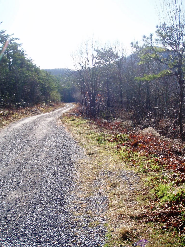
Collierstown Rd turns to gravel
National Forest Parking area about 2 miles on the right.
If you start from the National Forest Lot, the ride is a 12 mile loop.
Head up for a 2 mile climb on a gravel road
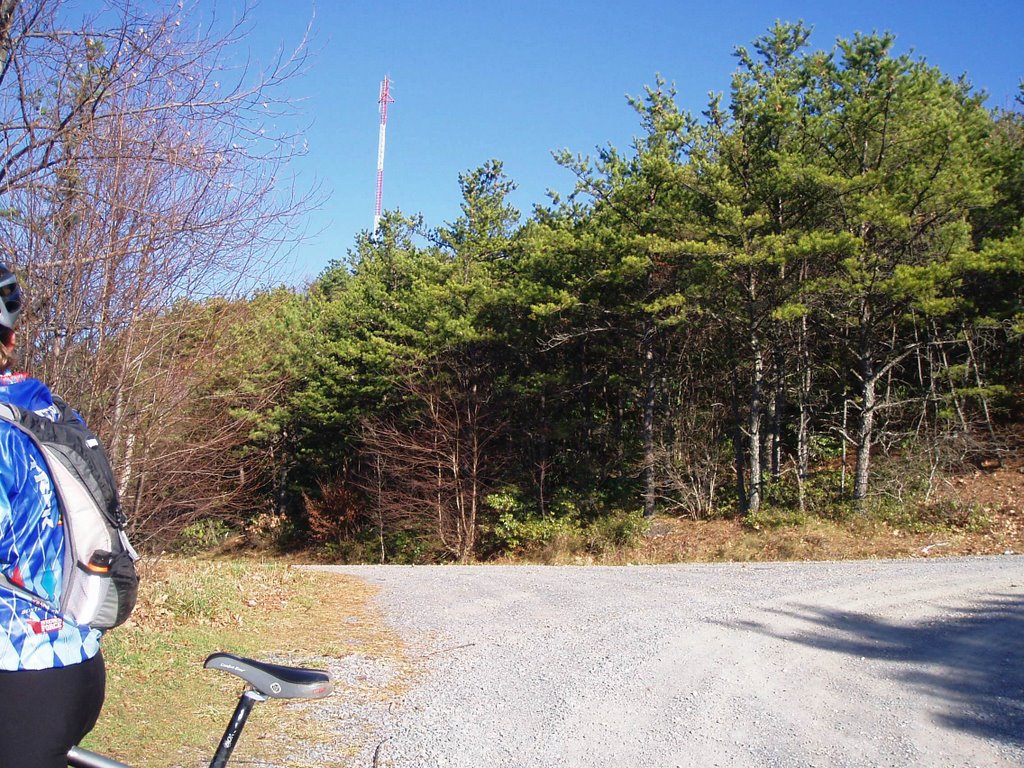
The first fork in the road you turn right. you will see a cell tower on top of the mnt. This a great climb and I like to ride it from the Longdale Furnace parking lot.
after you have turned right, head up about 150 yrds and you will see the trail head on the rt.

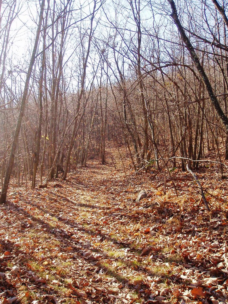
This is called the North Mnt Trail

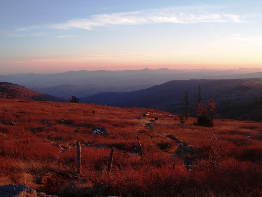
after the ridge, you drop through some cool trees.

One of the markers you will find.

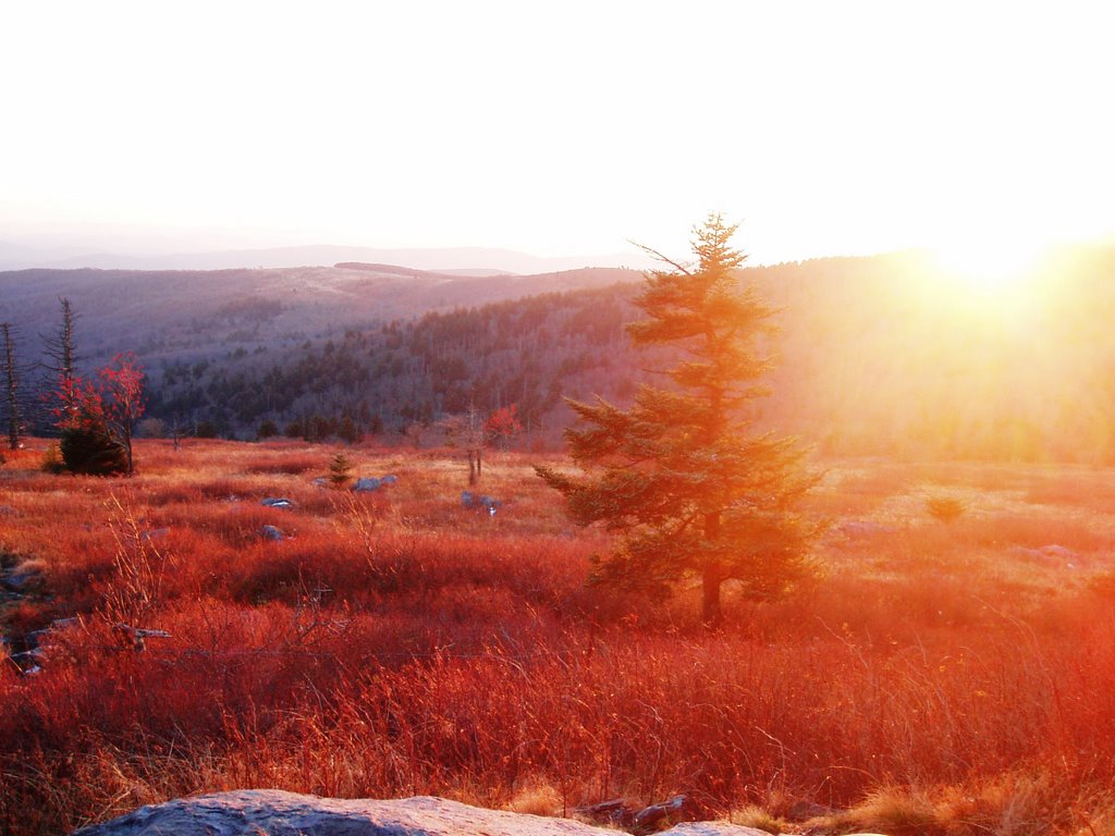
Here is where it gets fun. The trail leads up some technical rock formations.

Through a crevas
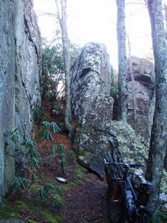
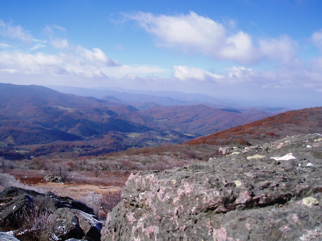
time to park the bikes and enjoy a little rock scrambling and great views


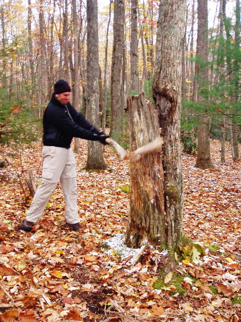
Oh yeah, this is Pete. this is a natural rock formation that looks like a guys face

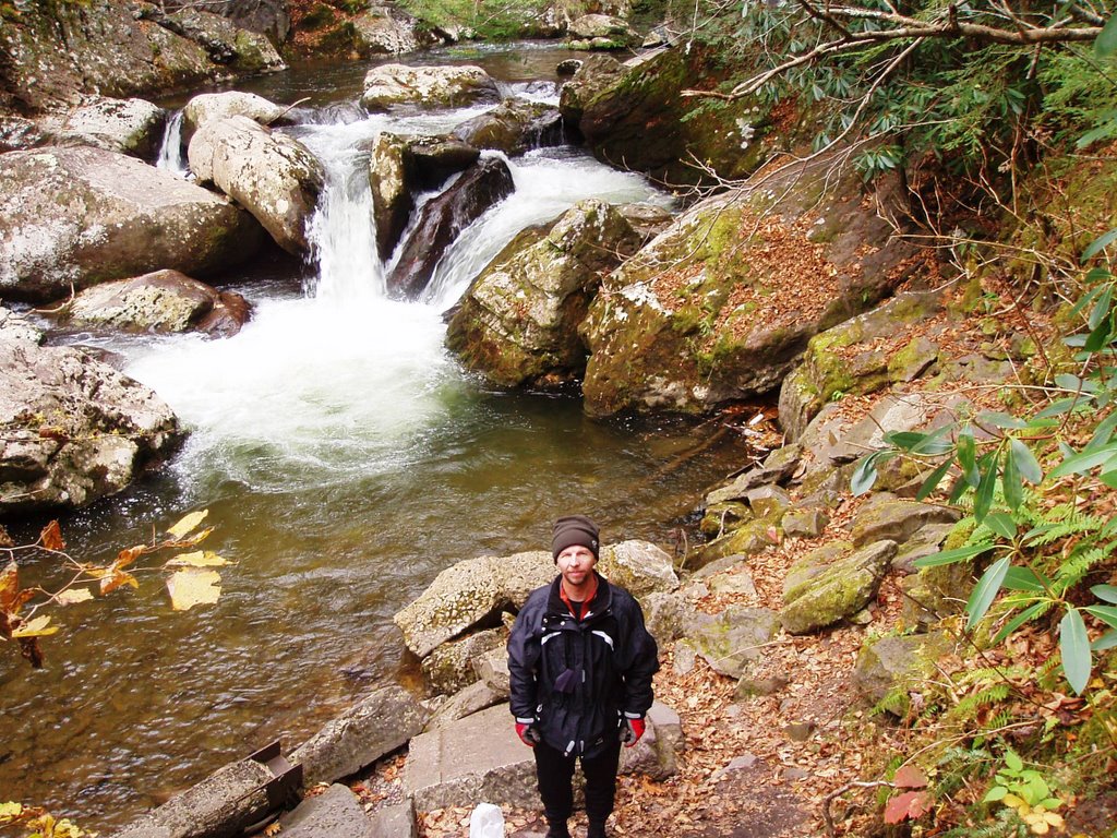
Head down for about a mile and turn rt when you see this sign.

A little log jump for those that dare

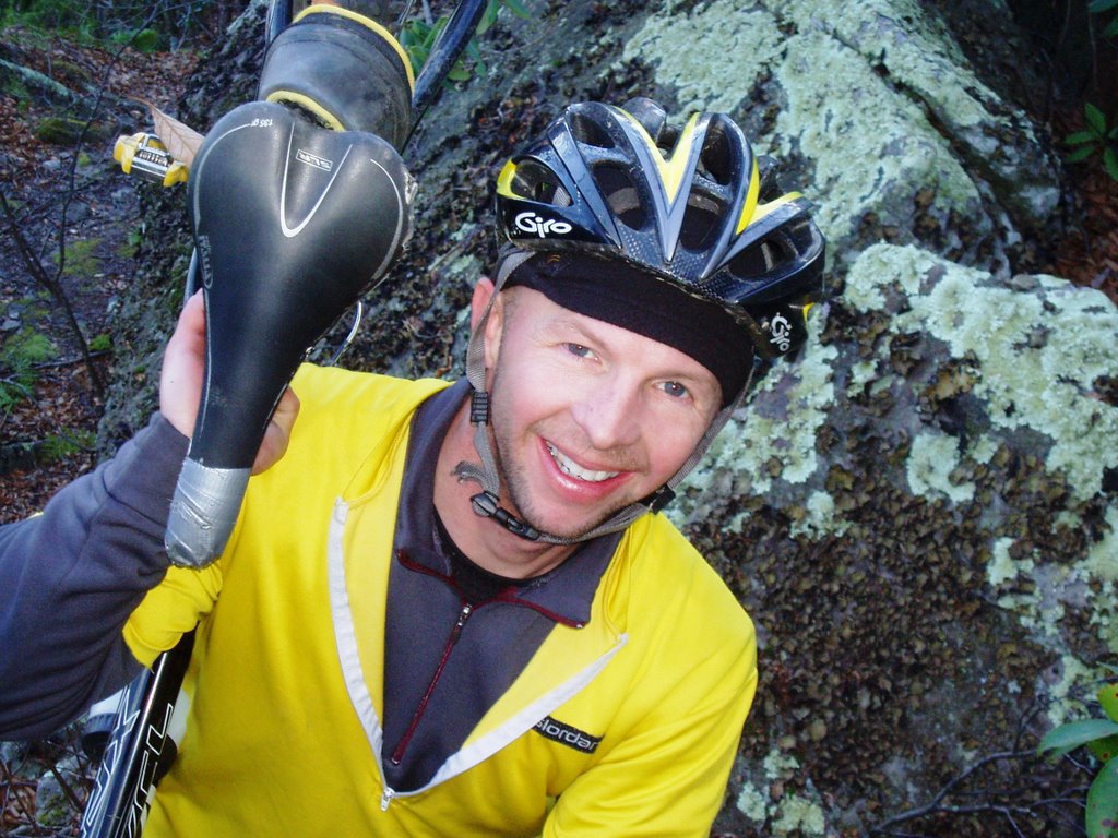
Yeah I hit it and landed.

Here is Ryan trying to jump and ends up with a face plant. The video is sideways so either turn your head or rotate the computer screen.
Unfortunately, the camera ran out of battery power and I didn't get the rest of the ride in.
The trail leads to 2 other forks. Just take a rt at each fork. The final 2 miles is a nice gravel road back to the National Forest Parking lot. If you parked at Longdale Furnace, then turn left out of the park and continue downhill.
 White Rock Tower Mtb Ride


 About .5 miles you will reach a large rock formation on your right and have a chance to scale a ridgeline-on foot.


 Back to the trail. Some great singletrack that dumps you out on a gravel road.

 Just a few other landmarks. Turn right onto the main road and back to the car.


